MundoGIS is a dedicated platform for Geographic Information Systems (GIS), offering a comprehensive range of courses, workshops, and consulting services focused primarily on OpenSource programs.
Our offerings include:
- QGIS-Desktop: Basic and advanced courses tailored for both users and administrators.
- QGIS-Server: Installation and management courses designed for administrators.
- QGIS-Web-Client: Courses focused on the installation and management of QGIS-server for administrators.
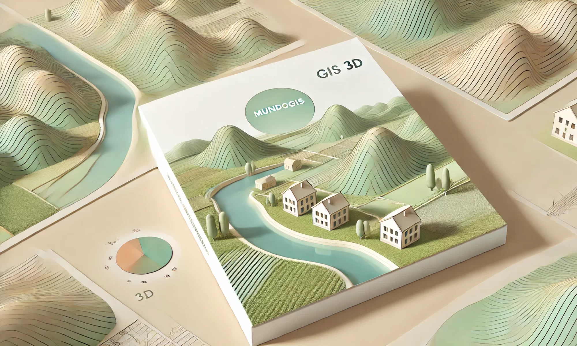
- Cesium 3D: Training on creating 3D web maps, managing 3D models, basemaps, and Digital Terrain Models (DTM).
- FME: Introductory courses covering the fundamentals of Feature Manipulation Engine (FME).
- PostgreSQL/PostGIS: Basic and advanced courses suitable for both users and administrators.
- GeoServer: Courses on installation and management tailored for users and administrators.
- Geowebcache: Training on installation and management for users and administrators.
- GDAL Usage: Courses on transforming raster and vector data, coordinate systems, and more.
Our mission is to empower professionals and enthusiasts in the GIS field by providing high-quality education and resources. Whether you’re beginning your GIS journey or seeking to enhance your existing skills, MundoGIS is committed to supporting your educational endeavors.